Early Development Instrument Project
Partnership with Erikson Institute
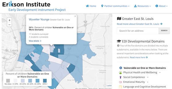
An interactive map for exploring the physical, social, emotional, language and communication development of young children within the context of their community.
More about this project
The Erikson Institute engaged DataMade to build an interactive map to display and explore the results of the Early Development Instrument (EDI) survey they had conducted in partner communities throughout Illinois. The EDI is a population measure that provides a snapshot of children’s health, development and school readiness in the context of their neighborhood.
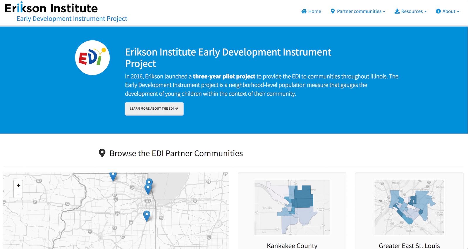
Early Development Instrument - Home page
Starting with Kankakee County and Greater East St. Louis, Erikson Institute staff worked with partner communities to conduct the EDI surveys and collect relevant demographic, schooling, family and crime related data, as well as local resources. DataMade then built an interactive map to allow for the viewing and combining of this data.
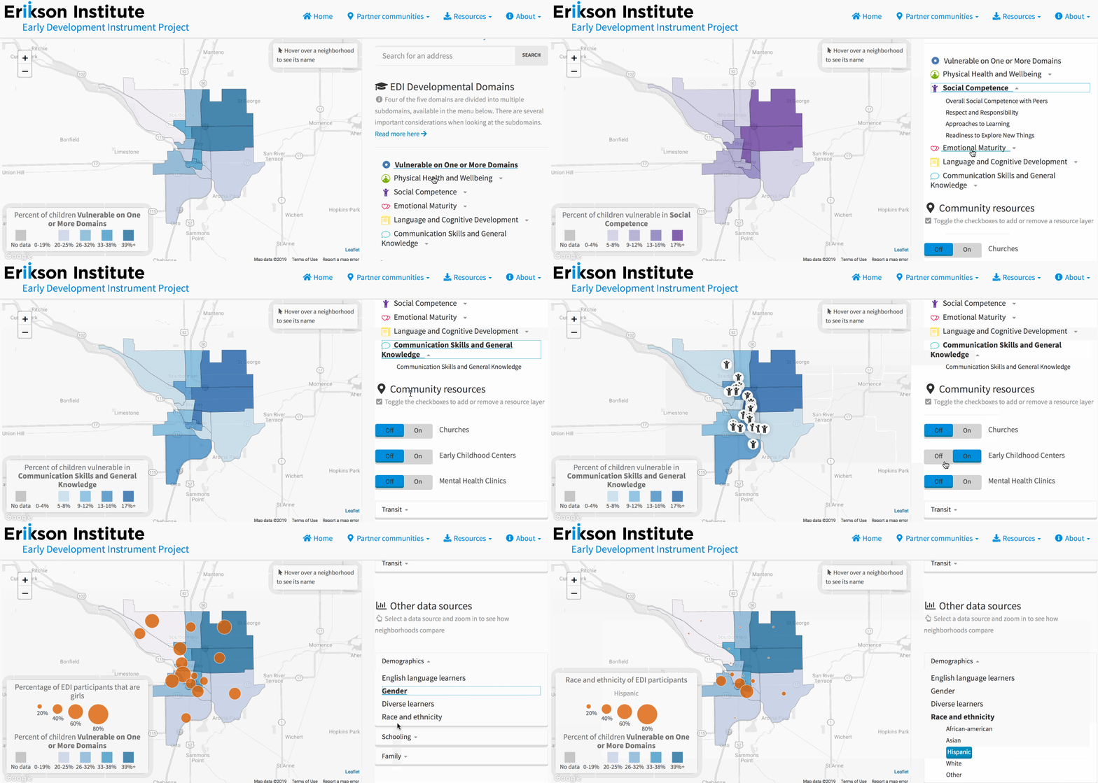
Early Development Instrument - Interactive map
Each partner community was broken down into locally defined neighborhoods based on US Census tracts.
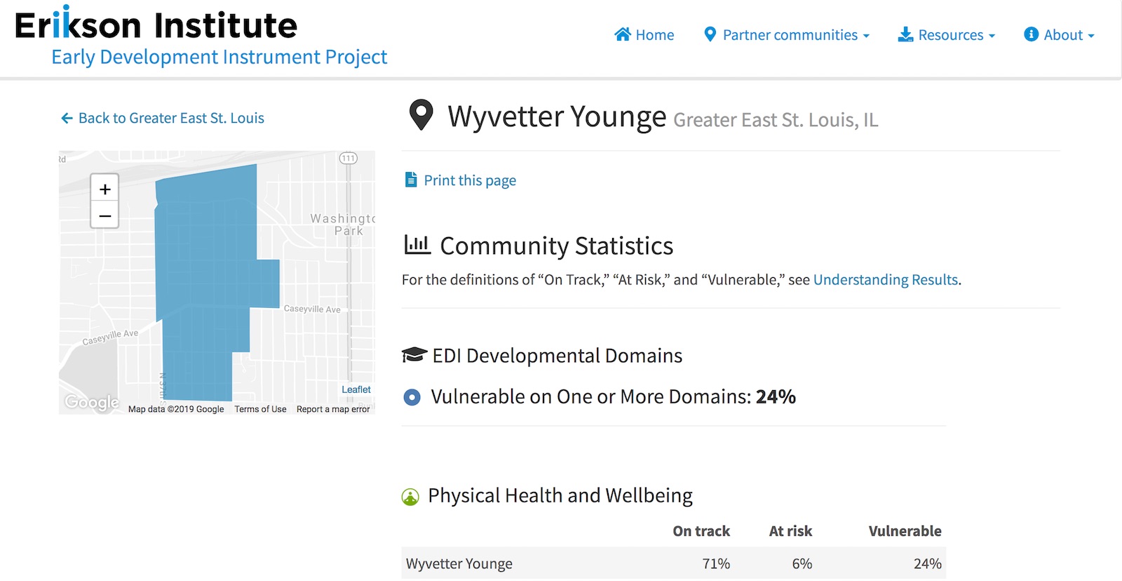
Early Development Instrument - Neighborhood detail page
While each partner community implemented the standardized EDI domain, each community defined their own neighborhood geographies and had additional custom datastets for display on top of the EDI data. To accommodate this, DataMade created a custom content management system (CMS) and data upload system for importing spreadsheets based on a data standard we set.
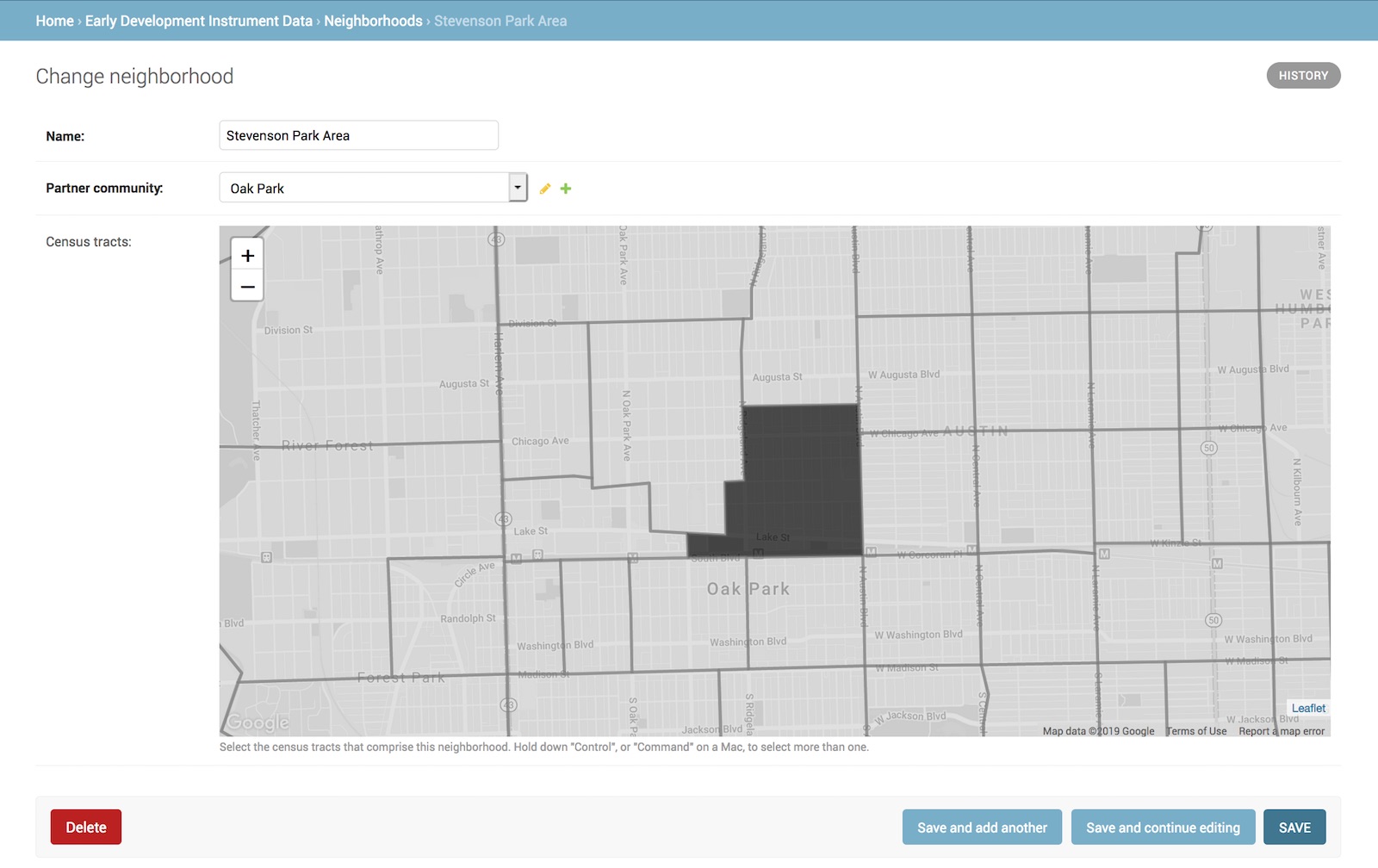
Early Development Instrument - Content management system for defining local neighborhoods