Impact of the 606
Partnership with Institute for Housing Studies at DePaul University
Interactive maps and charts that measure change in the housing market near Chicago’s 606 linear park.
More about this project
Chicago transformed an abandoned rail line into a public, urban trail! But the neighborhood around it changed, increasing the cost of living and displacing low-income residents. The Institute for Housing Studies at DePaul University studied the effect of the 606 on the housing market and presented somes words of wisdom for Chicagoans and community developers across the country.
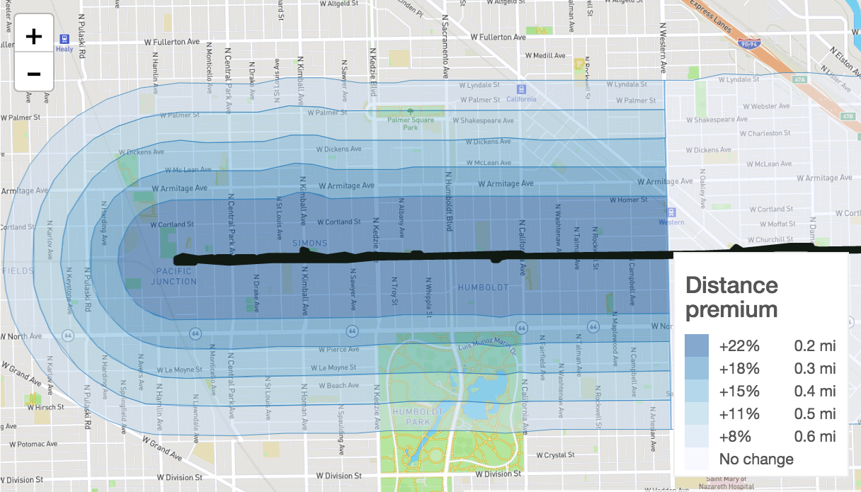
We turned their data into striking visualizations: interactive charts, colorful graphs, and a map that brings to light the patterns in price premiums on the west side of the trail. Our graphics use contrasting hues of blue, in particular, to highlight trends in real estate prices - closer to the trail means higher prices.
Want to know more? Read about IHS and their work on the Chicago housing market.